

Space monitoring satellites could help Central Asia adjust irrigation and reservoir releases before a drought damages crops. However, local farmers would only benefit if the agencies in charge of water supplies followed through on those warnings.
Central Asian governments have been expanding their capacity to monitor land and water from space.
Kazakhstan has earmarked approximately $1.7 million in its 2026 budget for the KazEOSat-MR Earth-observation system, with the government outlining plans to launch six new observation satellites.
In Uzbekistan, the national space agency Uzcosmos confirmed earlier in August that an AI-powered module developed by its engineers had reached orbit aboard the Chinese-built Samarkand-2028 satellite. Kyrgyzstan’s agriculture ministry announced in September that its state-owned Kyrgyz Asman company was preparing a satellite to monitor crops, drought, glaciers and water resources.
Farmers can already use data from satellites
Some satellite-based services are already helping farmers make decisions. In an op-ed on food security, experts from the UN Economic and Social Commission for Asia and the Pacific (ESCAP) described Kazakhstan’s AgroData application, which combines information from 226 agrometeorological stations to give growers updates on weather, soil moisture and crop conditions.
Access to information requires practical instruction, as Kyrgyzstan demonstrated. With equipment at 13 sites, the World Food Programme helped 5,000 rural community members and farmers to use climate information. The nation is also creating AgroMap, a free environmental and agricultural app.
People are better understanding what grows where in Uzbekistan. Starting in Tashkent, statistics authorities are mapping fields using satellite imagery, machine learning, and land-parcel boundaries. That approach matters on small farms that grow two crops a year. Before its planned national expansion, the system will be tested for land cover accuracy.
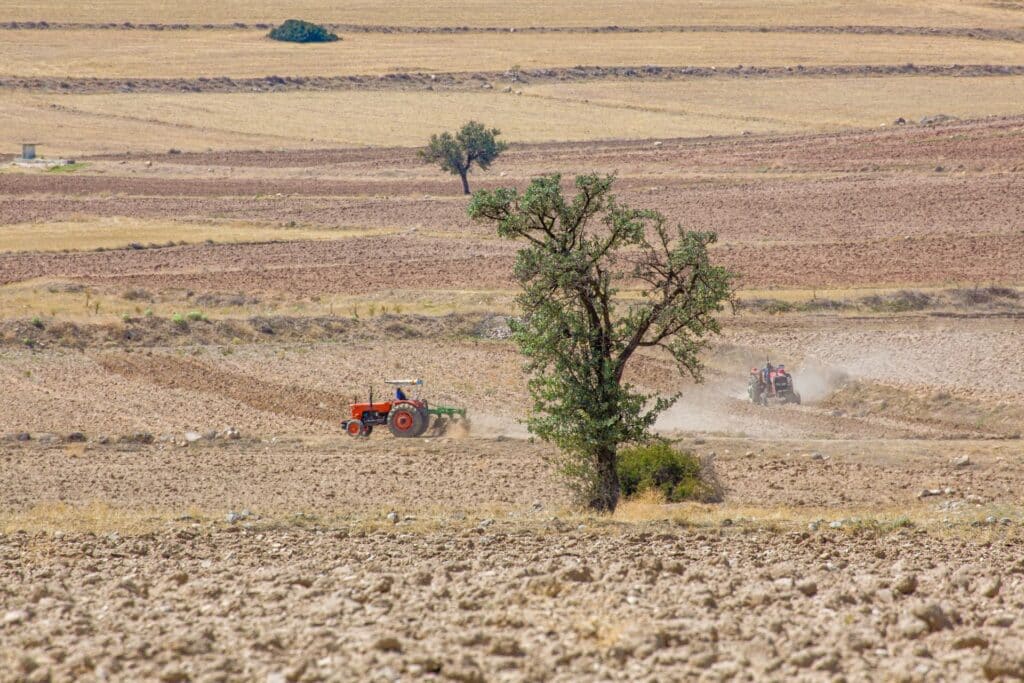
A separate ESCAP project is helping Kyrgyzstan, Tajikistan and Uzbekistan develop drought-monitoring capabilities. Launched in 2024 with Russian funding, it had involved more than 140 technical staff and experts in training by July 2026. Its work includes demonstrating a prototype Uzbek portal for viewing and analysing satellite-derived drought and crop information.
Satellites can track retreating coastlines, dry vegetation, and soil moisture across borders. Their observations can provide countries with a unified picture of pressures that administrative records may capture differently — or overlook entirely.
«Earth observation is not constrained by national boundaries,» Keran Wang, chief of space applications at the ESCAP, told Kursiv Uzbekistan.
Imagery from satellites needs someone to act on Earth
Forecasts become valuable when they change how reservoirs and irrigation systems operate.
«If drought conditions can be anticipated several days ahead, reservoir operators can adjust water releases in a timely manner, thereby conserving water resources,» Wang said.
He also cautioned that prioritising one crop or irrigation area may result in less coverage for another, while a technically sound recommendation requires clear rules, accountable decision-makers, and an explanation for those affected.
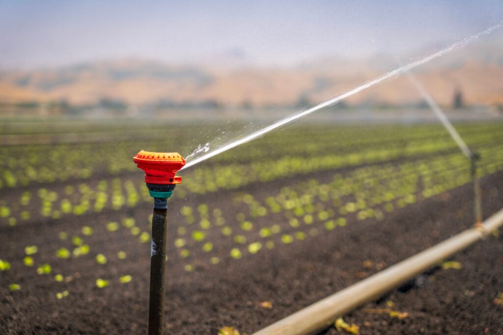
An accurate warning provides limited protection if a grower cannot change their irrigation schedule or obtain a response from the organisation responsible for supply. Each project should specify how an observation becomes an instruction, who can authorise it, and how quickly it reaches the field.
The side story: Uzbekistan joins NASA’s Artemis Accords to expand space cooperation
In the meantime, cross-border data require the same practical arrangements. Kazakhstan and Uzbekistan’s water agreement provides for joint management, data exchange and operational coordination. Satellite observations could support such cooperation, but governments still have to agree on releases and responsibilities.
Handling conflicting figures
Satellite estimates should be scrutinised alongside official statistics. Images can be misclassified, surveys can contain errors, and two seemingly contradictory figures may refer to different dates or definitions.
«When inconsistencies arise, they should not be concealed or selectively published,» Wang stated.
The expert encouraged the relevant agencies to collaborate and publish their methods, uncertainties, and corrections. This is a recommendation for dealing with discrepancies, not an allegation that any particular government has suppressed them.
Read more: Uzbekistan explores pumping and irrigation projects with China’s LEO Group
Public scrutiny would also make investment easier to assess. ESCAP’s new compendium, published on 28 October, catalogues 100 geospatial practices across North and Central Asia. The next question for individual projects is what changed because the information was available.
«Beyond training specialists or launching a digital platform, what matters most is operational effectiveness after implementation,» Wang concluded.
